
Historic water quality data unearthed
- Apr 9, 2025
- 4 min read
A compilation of 40 years of Queensland freshwater water quality data remasters some classic research.
A dedicated team at the JCU Centre for Tropical Water and Aquatic Ecosystem Research (TropWATER) has dusted off more than 26,000 historic water quality data records from catchments all along the Great Barrier Reef and compiled them into an invaluable digital database for use by contemporary researchers.
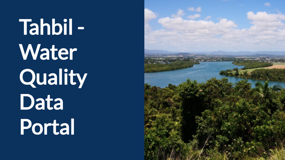
The data are now available as part of a new water quality data portal, ‘Tahbil’, developed by the Water Quality and Investigations team (Department of the Environment, Tourism, Science and Innovation (DETSI)).

Years of compilation work
In the mid-2000s, young Townsville researcher Stephen Lewis inherited a goldmine of old water quality data from boss and mentor Professor Jon Brodie for use in a project to establish river basin profiles for the Burdekin and Wet Tropics rivers. The data were referenced for their use at the time and set aside.
Over subsequent years, Dr Lewis and colleagues became inadvertent caretakers of other rich collections of historic datasets, including batches handed down from Alan Mitchell and Miles Furnas of the book Catchments and Corals fame (2003), and fleets of archived data from the Australian Institute of Marine Science and Queensland Government researchers.
“So many private and research programs have collected water quality data from GBR catchments over the past four decades,” Lewis says.
“From Cape York, down through the Wet Tropics, Black-Ross, the Burdekin, Mackay-Whitsunday, the Fitzroy, and the Burnett-Mary, freshwater data have been collected by researchers, landowners, and government programs. Raw data are kept on compact discs and hard drives in cupboards across the state, recorded in different ways, and analysed at different labs. The ‘corporate memory’ of the data is short and fades as the people involved shift roles or retire.
“I see new water quality studies published all the time and think, ‘wouldn’t it have been helpful if they’d realised that all these older data existed!’”
When an opportunity came up for Lewis and team to dust off the historic datasets and bring them together in a single database for contemporary use, they jumped at the chance.

Remastering 26,000 individual records
With funding support from the Department of Climate Change, Energy, Environment and Water (DCCEEW), TropWATER’s Dr Cassandra James and Dr Zoe Bainbridge joined Dr Lewis in the compilation project.
After many months of dredging up half-remembered initiatives and leveraging the generosity of more than a few retired scientists from across Australia, the team’s work has unearthed more than 26,000 gems of data that span 466 locations across four decades.
“Cassie and Zoe are the ones who did the hard yards,” Lewis says, “chasing down trails, finding what labs the data were analysed in, and what their methods and detection limits were.”
“There are so many details to understand with older datasets,” Dr Cassie James explains, “Sometimes detective work is needed to establish where samples were collected. Which bridge did the samplers use to access the river? What QA/QC measures were in place? How were the data treated afterwards? Did they round 0.5 up to 1 or down to 0, for example?”
“All these details need to be collated and stored with the data to make it useful in the future.”
The resulting database compiles more than 40 historic datasets, some dating back to the late 1980s, with a focus on freshwater waterways entering the Great Barrier Reef lagoon. Indicators among the datasets include total suspended solids, nutrients, pesticides and trace metals.
The compilation is just one of TropWATER’s projects improving knowledge of water quality in Great Barrier Reef catchments, ranging from on-the-ground work with landholders collecting water samples to remote sensing of flood plumes using satellite imagery. For more information, visit tropwater.com.


Where to access the data
The Tahbil water quality data portal is available for all researchers, modellers, and catchment managers to freely access: https://apps.des.qld.gov.au/water-data-portal
The data sits alongside, and complements that collected by the GBR Catchment Loads Monitoring Program (under the Paddock to Reef Integrated Monitoring, Modelling and Reporting Program).
“It’s been frustrating to see new water quality data projects launch where there may have already been research done in the same area 10 years ago,” Lewis says. “Now, the old datasets are finally available and this older work can have a much longer legacy.”
“This is a truly valuable initiative,” says Executive Officer for the Healthy Waters Partnership for the Dry Tropics, Kara-Mae Coulter-Atkins. “Historic data unlocks the true stories of our waterways and helps guide decisions for our rivers and Reef. We can’t wait to dive into these datasets.”
The Great Barrier Reef Water Quality Data Compilation was funded by the Department of Climate Change, Energy, the Environment and Water and managed by the Queensland Government Department of the Environment, Tourism, Science and Innovation.


